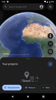
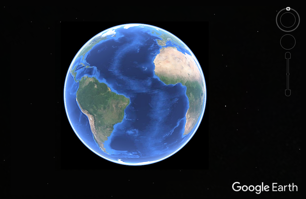
What is a 'Realistic Virtual Earth'? (Stanford Professor Richard Dasher asked me after this Stanford Asia talk)
See, for example, this Onsen as a start:
and see, too, the Harbin Hot Springs' gate in Google Street View with time slider, and 'walk' down the 'road' -
(~ https://twitter.com/HarbinBook ~ http://bit.ly/HarbinBook ~)
| Fri, Oct 23, 10:58 AM (1 day ago) |   | ||
| ||||
World Univ & Sch seeks to facilitate a single realistic virtual earth for this - https://twitter.com/hashtag/
https://wiki.
And while Richard asked me to describe the Realistic Virtual Earth idea, I think I may have, in asking you about Pony.ai collaborating with Waymo digital infrastructure, only mentioned Google Street with time slider, Maps, Earth and with TensorFlow in response, so I'm just writing to suggest that a developing single realistic virtual earth would incorporate predictive analytic information technologies like Lidar, and this image is a great example of what I have in mind in combination with Google Street View infrastructure - https://twitter.com/
https://www.linkedin.com/feed/
Autonomous Vehicles and the Digital Transformation of the Automotive Industry in Asia
https://events.stanford.edu/
Following on some Waymo questions here, how could modeling/simulations and combined in a single realistic virtual earth for Autonomous Vehicles help Pony.ai with the development of innovations (am thinking re Waymo of Google Street View with time slider, Maps, Earth with Tensor Flow) and a single realistic virtual earth for Robotics https://twitter.com/hashtag/
World Univ & Sch seeks to facilitate a single realistic virtual earth for this, and check out the best STEM CC-4 Open Course Ware courses at World Univ & Sch that WUaS will offer for credit with time -
https://wiki.
https://scott-macleod.
LiDAR #sensors produce accurate, real time #3D maps of the environment for #RealisticVirtualEarth Seeking still to convert maps into interactive AVATAR BOTS for ex. for even tele-robotic surgery https://twitter.com/
LiDAR #sensors produce accurate, real time #3D maps of the environment for #RealisticVirtualEarth Seeking still to convert maps into interactive AVATAR BOTS for ex. for even tele-robotic surgery https://t.co/torp4UKuVj -#RealisticVirtualEarthForSurgery -https://t.co/COLQudCFDa -
— WorldUnivandSch (@WorldUnivAndSch) October 29, 2018
https://twitter.com/
https://twitter.com/
https://twitter.com/
LiDAR #sensors produce accurate, real time #3D maps of the environment for #SelfDrivingCars >>> Luminar via
@MikeQuindazzi
>>> #IoT #autonomousvehicle #AI #Machinelearning #Deeplearning #BigData #autonomousdriving #Insurtech #DataScience #Digital >>>
https://twitter.com/
* * *
| 4:25 PM (0 minutes ago) |   | ||
| ||||
http://campaign.r20.
LiDAR #sensors produce accurate, real time #3D maps of the environment for #RealisticVirtualEarth Seeking still to convert maps into interactive AVATAR BOTS for ex. for even tele-robotic surgery https://t.co/torp4UKuVj -#RealisticVirtualEarthForSurgery -https://t.co/COLQudCFDa -
— WorldUnivandSch (@WorldUnivAndSch) October 29, 2018
- https://twitter.com/
In ways could we convert these LiDAR images, for example, of people into avatar bots (think Samsung Neons, aka 'artificial humans') of your anthropological touristic subjects, - and even for further research, and in a single realistic virtual earth we all create (almost as an emergent library and museum all in one - am thinking Google Street View with time slider, Maps, Earth, TensorFlow, and the virtual world and data created too by Google's Waymo in the USA, China, Kazakhstan + ).
Best regards, Scott
4 Tourism Studies’ talks in recent years - http://scott-macleod.blogspot.
The Fourth Lecture the 2020 Online Lecture Series by Dr Yujie Zhu
https://www.youtube.com/watch?
https://youtu.be/1Nb0SSjEFDk
* *
Yujie Zhu
Oct 25, 2020, 8:11 PM (16 hours ago)
to me
Hi Scott,
Sent: 25 October 2020 10:25
To: Yujie Zhu <yujie.zhu@anu.edu.au>
Subject: Re: [Oct. 23] Memory, Homecoming and the Politics of Diaspora Tourism in China (Y. Zhu)
*
And regarding, further, UNESCO WHS, my Univ of Edinburgh MSc dissertation was on visiting virtual St. Kilda, Scotland, as an emerging, or nascent, online 'place' - http://scottmacleod.com/
*
Here's Pekka HImanen's book (with Linus Torvalds and Manuel Castells - and again I'm a Castellian) actually, and it's called "The Hacker Ethic" (not 'The Hacker Ethos") - http://index-of.co.uk/
Church of England to launch a 'Google Maps for graves' w/i five years enabling family historians to search for burial records & locations in an online database -https://dailymail.co.uk/
Church of England to launch a 'Google Maps for graves' w/i five years enabling family historians to search for burial records & locations in an online database -https://t.co/4xn3jpS377 #RealisticVirtualEarth #RealisticVirtualEarthForArchaeology #RealisticVirtualEarthForGenetics ~
— Open Band (Berkeley) (@TheOpenBand) March 5, 2020
https://twitter.com/
PPPS
I have a specific ACTUAL-VIRTUAL, PHYSICAL-DIGITAL focus, and these two Tweets would bring together a realistic virtual earth like Google Street View with physical Lego Robotics for learning even, and in an Anthropology / Tourism Studies' field -
Robotics & Archaeology https://wiki.
Robotics & Archaeology https://t.co/Yu1lMjY7u2 /Robotics in #GoogleStreetView w/ #TIMESLIDER, Maps, Earth #LegoRobotics at first, w/ a developed #BrickStreetView in #ActualVirtual #PhysicalDigital #RealisticVirtualEarthForRobotics #RealisticVirtualEarthForLego in 1 #VirtualEarth? https://t.co/hCtxe5DeWM
— Open Band (Berkeley) (@TheOpenBand) September 5, 2020
https://twitter.com/
PPPSa
Archaeology with robotics? - in #GoogleStreetView with #TIMESLIDER, Maps, Earth with #LegoRobotics at first, with a developed #BrickStreetView in an #ActualVirtual #PhysicalDigital #
Archaeology with robotics? - in #GoogleStreetView with #TIMESLIDER, Maps, Earth with #LegoRobotics at first, with a developed #BrickStreetView in an #ActualVirtual #PhysicalDigital #RealisticVirtualEarthForRobotics #RealisticVirtualEarthForLego in a SINGLE #RealisticVirtualEarth? https://t.co/vZmoWWW0pS
— Open Band (Berkeley) (@TheOpenBand) September 5, 2020
https://twitter.com/
PPPPS
Anthro book shelves in the UC Berkeley Anthropology library, and regarding Maritime Archaeology -
Ships in #Wikidata https://phabricator.wikimedia.
@HarbinBook at Cal
Ships in #Wikidata https://t.co/08JJqK7SRf as #FieldSites & re Maritime Archaeology books for#RealisticVirtualEarthForArchaeology in #UCBerkeleyAnthroLibrary >#RealisticVirtualEarth #RealisticVirtualEarthForAnthropology & for https://t.co/3yvBlp9BjH ? & re my @HarbinBook at Cal pic.twitter.com/8ZpxVi5hOu
— WorldUnivandSch (@WorldUnivAndSch) December 22, 2019
https://twitter.com/
*
https://en.wikipedia.org/wiki/Google_Earth
https://commons.wikimedia.org/wiki/Earth
https://commons.wikimedia.org/wiki/Earth
...


No comments:
Post a Comment